Indonesia's mining reclamation guarantees reach Rp40 trillion, and satellite measurement is now setting the amount
By Sirkularium Editorial Team, 8 min read
The Directorate General of Minerals and Coal says reclamation guarantees placed by mining companies have grown from about Rp17 to 18 trillion to around Rp40 trillion, with satellite imagery used to size each deposit to the land actually opened. The Ministry of Environment adds that success will be judged on the ground, not on paper.
A guarantee pool that has more than doubled
Speaking at the Gelar Teknologi Reklamasi Tambang IPB University 2026 seminar in Bogor on Thursday 8 October, Tri Winarno, Director General of Minerals and Coal at the Ministry of Energy and Mineral Resources (ESDM), gave a figure that summarises several years of steady regulatory work. Reclamation guarantees placed by mining companies, he said, used to total only about Rp17 to 18 trillion. They now stand at around Rp40 trillion.
The purpose, in his framing, is simple. A guarantee exists so that a company cannot walk away from opened land once extraction ends. Tri Winarno attributed the growth to two forces working together: firmer enforcement by the government and a rising level of awareness among companies themselves.
The number has climbed in visible steps. In August 2025 the Director General put guarantees at roughly Rp30 to 35 trillion, held in state-owned banks. By late December 2025 he reported Rp35 trillion, against an earlier baseline he then described as Rp17 to 20 trillion. The October 2026 figure of around Rp40 trillion continues that trajectory. The two descriptions of the starting point differ slightly, Rp17 to 18 trillion in the latest remarks and Rp17 to 20 trillion last December, but on either reading the pool has more than doubled.
Satellite imagery now measures the area each company has opened, and the guarantee is set to match it. That turns a reclamation deposit from a negotiated sum into a measured one.
How the amount is now set
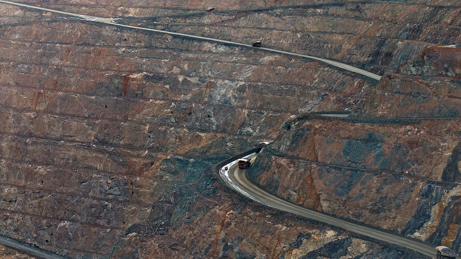
The most consequential detail in the Director General's remarks is method, not size. ESDM uses satellite imagery to measure the area of land each operation has opened, and the guarantee is calibrated to that measured footprint. A company that placed a small deposit at the outset can be asked to top it up when the imagery shows a larger opening than its documents assumed.
Tri Winarno also described what evaluations had found along the way. Some companies held a guarantee but lacked the supporting documents. Others had documents but no guarantee. Some had placed only part of what was required. Remote sensing gives the ministry a consistent, repeatable way to reconcile all three cases against the same physical evidence.
He was equally clear about what a guarantee does not do. Placing one does not discharge the duty to reclaim. Companies must prepare a reclamation plan, obtain approval, place the guarantee, and then carry out the work. Post-mining responsibility can run for up to 10 years, until the outcome is assessed as successful.
The compliance picture has improved alongside the balance. In 2025 the ministry reported that the share of companies meeting their guarantee obligations had risen from 39 percent to about 72 percent, with 100 percent as the stated target. That progress followed a structured process: three successive warning letters, then suspension of 190 mineral and coal permits under letter T-1533/MB.07/DJB.T/2025, with a clear route back. Minister Bahlil Lahadalia summarised it plainly at the time: the key is to pay the reclamation guarantee, and once a company pays and reports, its activity can resume.
Measured on the ground as well as from orbit
The Ministry of Environment (KLH) used the same seminar to add the second half of the picture. Dr. Ardhi Yusuf, Director of Land Damage Control at KLH, said that reclamation success has to be read from the condition of the land in the field, not only from what company documents promise. Plans list commitments that cannot be verified on paper alone, and implementation needs to be checked on site.
He described four linked elements: the reclamation document, field implementation, the success standard, and the guarantee standard. Each region has different characteristics, so handling has to be adapted to local conditions. Periodic environmental monitoring over defined periods lets the government see whether reclaimed land is developing in line with the success standard, and where it falls short, further remediation follows.
On the same day in Jakarta, at the fourth Forum Komunikasi Temu Lingkungan, KLH director Sayid Muhadhar said oversight of nickel operations will be measured against environmental quality standards and laboratory results, and that reports from the field will be verified against data rather than assumed. Taken together, the two ministries are describing a single measurement chain: satellite data sizes the obligation, field evidence and laboratory results confirm the outcome.
The record behind the reform
The guarantee reform sits on top of a reclamation record that has been rising quickly. ESDM data republished by the Indonesian Mining Association show reclaimed area of 9,344 hectares in 2021, 11,084 hectares in 2022, 13,754 hectares in 2023 and 26,538 hectares in 2024. Annual targets over the same years stayed between 7,025 and 7,100 hectares, so realisation has run well ahead of plan. For 2025, the ministry reported 5,739.39 hectares by June against a full-year target of 7,135 hectares, equal to 80.43 percent. Around 1,592 reclamation documents had been submitted, and Tri Winarno expected guarantees to keep rising as those approvals are processed.
The academic setting of the announcement matters too. The seminar was organised by IPB University's Centre for Mine Reclamation Studies (Reklatam) with its international research institute for environment and climate change, under the theme of turning post-mining land into productive landscapes. Rector Dr. Alim Setiawan Slamet framed policy, innovation and implementation as three complementary elements. Committee chair Prof. Sulistiono described reclamation as a way of restoring the ecological, social and economic function of land, not only an environmental obligation, and stressed collaboration between government, industry, researchers and communities.
What a Rp40 trillion guarantee measures, and what it does not yet
A reclamation guarantee is, in economic terms, a priced estimate of restoration cost. Sizing it from satellite-measured disturbed area is a meaningful step: it ties a monetary figure to a verifiable physical quantity, the same principle that underpins natural capital accounting.
What the guarantee does not yet capture is the value of the land once it is restored, or the value of the ecosystem services lost while it was open. Those are different quantities. Indonesia already has a regulatory methodology for pricing environmental loss, Permen LH No. 7 Tahun 2014, which separates ecological damage, environmental economic loss and recovery cost. Its logic complements the guarantee system well. The guarantee secures the recovery cost. A valuation of ecosystem services, covering water regulation, soil, carbon and biodiversity, would show what reclamation actually returns to the region and to the state.
The KLH emphasis on field condition is the natural bridge. Once success is judged by measured soil, vegetation and water indicators, those same indicators become inputs to a valuation. Region by region, they can show whether a reclaimed hectare in Bangka differs in value from one in Morowali or East Kalimantan.
Sirkularium's view
Sirkularium reads this as a genuine institutional advance. Guarantees have more than doubled, compliance has climbed toward the 100 percent target, and the amount each company sets aside is now anchored to satellite measurement rather than self-reporting. The KLH position on field verification completes the loop. For government stakeholders, the system now has the three ingredients any sound valuation needs: a measured area, a monetary reserve, and a standard against which outcomes are tested.
The next opportunity is to connect these pieces into a recurring economic account of post-mining land. That means pairing GIS and remote-sensing time series with ground data on soil, water and vegetation, and applying a standard methodology such as Permen LH No. 7 Tahun 2014 to express restored condition and avoided loss in rupiah. Operators that commission such valuations routinely, with independent verification, will be able to show KLH and ESDM not only that their guarantee is placed, but what their reclamation is worth. That is a stronger compliance position than any single document, and it is best built as ongoing practice rather than in response to a dispute.
Three things are worth watching. The first is whether ESDM publishes the satellite-based area methodology so companies and regions can replicate it. The second is how the KLH success standard is calibrated across regions with different soils and climates. The third is whether the post-mining phase, which can last up to 10 years, begins to report ecosystem condition indicators alongside hectares, since that is where the value of reclamation becomes visible.
Mining land reclaimed per year in Indonesia
Values in hectares
Sources
- Media Nikel Indonesia, reclamation guarantees rise to Rp40 trillion (8 Oct 2026)
- Media Nikel Indonesia, KLH says reclamation success must be judged by field conditions (9 Oct 2026)
- Media Nikel Indonesia, IPB University seminar on turning post-mining land into productive landscapes (8 Oct 2026)
- JPNN Jabar, IPB University seminar on reclamation innovation and the green mining economy (8 Oct 2026)
- Indonesian Mining Association, republishing Bloomberg Technoz on 2025 guarantees reaching Rp35 trillion and reclamation realisation 2021 to 2025
- EmitenNews, ESDM holds Rp30 to 35 trillion in reclamation and post-mining guarantees, compliance up from 39 to 72 percent
- Jawa Pos, Minister Bahlil asks 190 suspended permit holders to pay reclamation and post-mining guarantees